Bonneville Power Administration
Fish & Wildlife Department
503-230-3862
800-622-4520 Visitor Center
Directions: I-84 east, take exit 42 to Cascade Locks, then easterly (right) at the stop sign. Look for the Marine Park signs on your left. Turn left, go under the railroad bridge and follow the signs to the boat ramp. From I-84 west, take exit 44 to Cascade Locks, then westerly (left). Look for the Marine Park signs on your right. Turn right, go under the railroad bridge and follow the signs to the boat ramp.
Launch Fee: None
ADA Accessible Features: Parking, restrooms, one ADA campsite, and a bank fishing area located near the boat ramp.
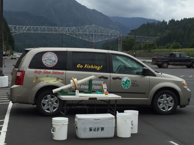
For more information about this location, please visit here.
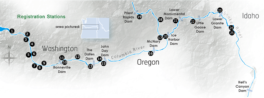
This map contains the locations of boat ramps  , major dams
 &
&  , catch stations
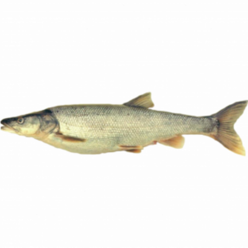
  and historical Northern Pikeminnow catch areas
  . Zoom in to map for greater detail regarding river contours and catch locations.
Washington Department of Fish and Wildlife
800-858-9015 Toll Free
360-906-6707
pikeminnow@dfw.wa.gov
800-769-9362 Toll Free
503-595-3297
vouchers@pikeminnow.org
503-230-3862
800-622-4520 Visitor Center